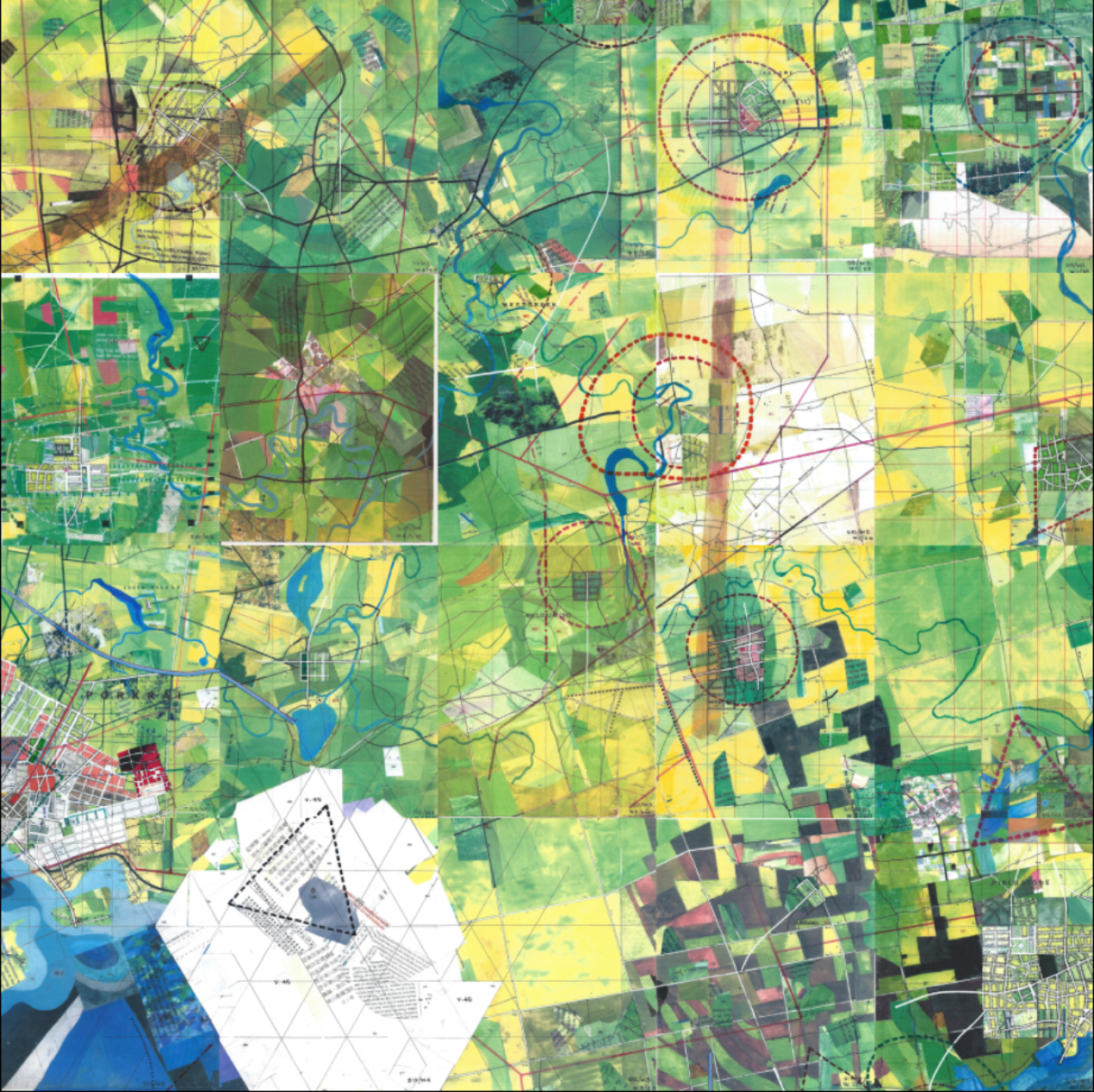


In the summer of 1963, Michigan native Jerry Gretzinger began drawing a map of an imaginary city. He says: “The work started as a doodle done in the spare time I had while working at a tedious job. I continued to add to that map through the years until, in 1983, I set it aside to put my free time to other use. The Map was stored in the attic of our home in Cold Spring, New York. It gathered dust. My son, Henry, found it one day while rummaging around. He brought it down to me and asked what it was. Seeing it then triggered me to dust it off and continue the project. It now comprises over 3200 individual eight by ten inch panels. Its execution, in acrylic, marker, colored pencil, ink, collage, and inkjet print on heavy paper, is dictated by the interplay between an elaborate set of rules and randomly generated instructions.”
For the past 50 years, Jerry has been “painting his microcosms on over 2,600 sheets of paper, cataloguing new facilities and landmarks in both a carbon copy-based archival system and a computer spreadsheet, turning towns into cities, cities into metropolises, with no end in site for his ever-changing world.” In fact, he says he’s prepared to spend the next 20 years on his map!
Jerry’s Map has been featured in group and solo shows around the country, and has been featured in numerous magazine, book and online articles. Read more in this HuffPost piece which features a short documentary video.