


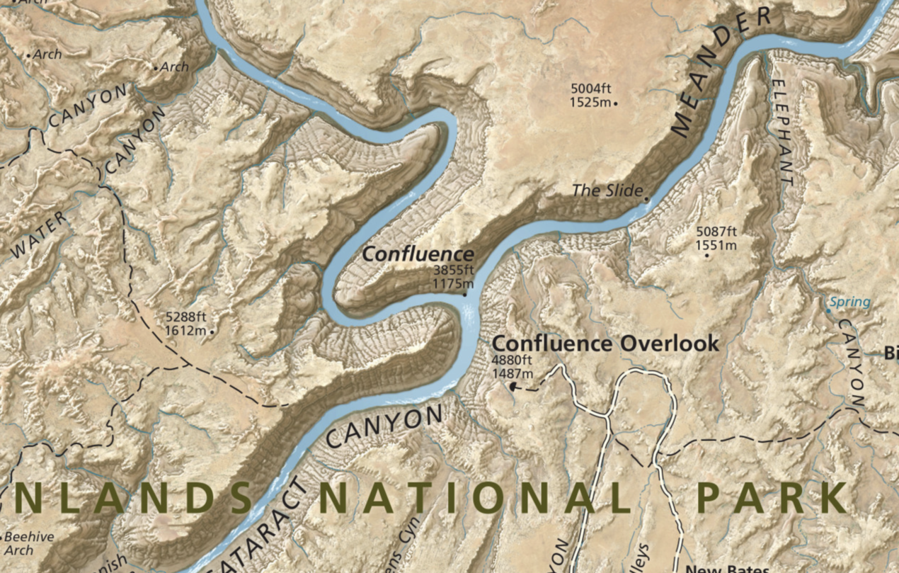
During the government shutdown in 2013, Matt Holly, a ranger with the Natural Resource Stewardship and Science Directorate in Colorado, launched a website that, for the first time ever, made available some 1,053 hi resolution digital maps from all the national parks in our 50 states. The maps are available to view, save and download for free. You can search by state or by park name. In addition to maps of every national park you can also find maps of various national monuments, recreation areas, historic sites, national seashores, lakeshore and rivers. The description of the website states: “NPMaps.com is an independent website and is not affiliated with the National Park Service. This is just a one-man project that gets worked on whenever said guy actually has some free time. It’s hard work!” Thanks, Matt, we truly appreciate it!
-
by Scott Schiller, Comments: 0
-
by Scott Schiller, Comments: 0
-
by Scott Schiller, Comments: 0
-
by Scott Schiller, Comments: 0
-
by Scott Schiller, Comments: 0
-
by Scott Schiller, Comments: 0