


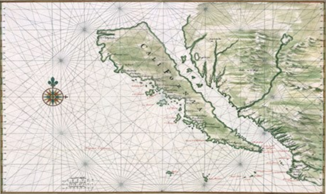
Maps are, by definition, one person’s representation of the world. Every mapmaker has an agenda, showing some things and hiding others. No map is 100% objective. Thus, it is rather easy to create a map to reflect a bias, influence a perception or deceive the reader with false or misleading data. I came across this excellent article from CityLab about how maps can lie. Simon Garfield, author of On the Map, states, “We may be looking at something inaccurate, misleading, or incorrect without realizing it.” As an example: a map made in 1602 depicted California as an island floating in the Pacific; the map went unquestioned for some 200 years! Even the mighty Apple and Google maps have had errors. In 2010 Google fixed an error in its map of Central America that was blamed for Nicaragua’s accidental invasion of a disputed border area also claimed by Costa Rica. Also in 2010, a woman unsuccessfully sued Google for providing bad Google Maps directions after she was struck by a car while walking on a rural Utah highway with no sidewalk or pedestrian pathways. (Source: FoxNews.com) So, the next time you are looking at a map, it is best to keep in mind what it is trying to tell you, and perhaps even more importantly, why it is trying to tell you.
-
by Scott Schiller, Comments: 0
-
by Scott Schiller, Comments: 0
-
by Scott Schiller, Comments: 0
-
by Scott Schiller, Comments: 0
-
by Scott Schiller, Comments: 0
-
by Scott Schiller, Comments: 0