


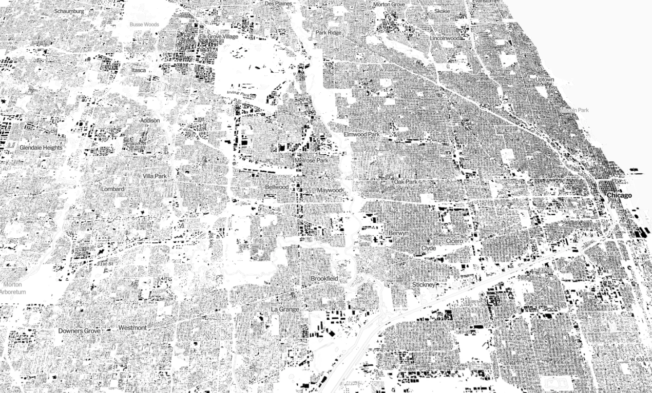
Earlier this year, Microsoft’s computer engineers trained a neural network to analyze satellite imagery and then trace the shapes of buildings across the country. This is the first comprehensive database covering the entire United States. Check out these interactive maps of every building in the US. It’s mesmerizing! “Classic maps answer questions like: How do I get from Point A to Point B? These data images, instead, evoke questions — sometimes, simply: What’s that?” (Source: By Tim Wallace, Derek Watkins and John Schwartz, NY Times)
-
by Scott Schiller, Comments: 0
-
by Scott Schiller, Comments: 0
-
by Scott Schiller, Comments: 0
-
by Scott Schiller, Comments: 0
-
by Scott Schiller, Comments: 0
-
by Scott Schiller, Comments: 0