

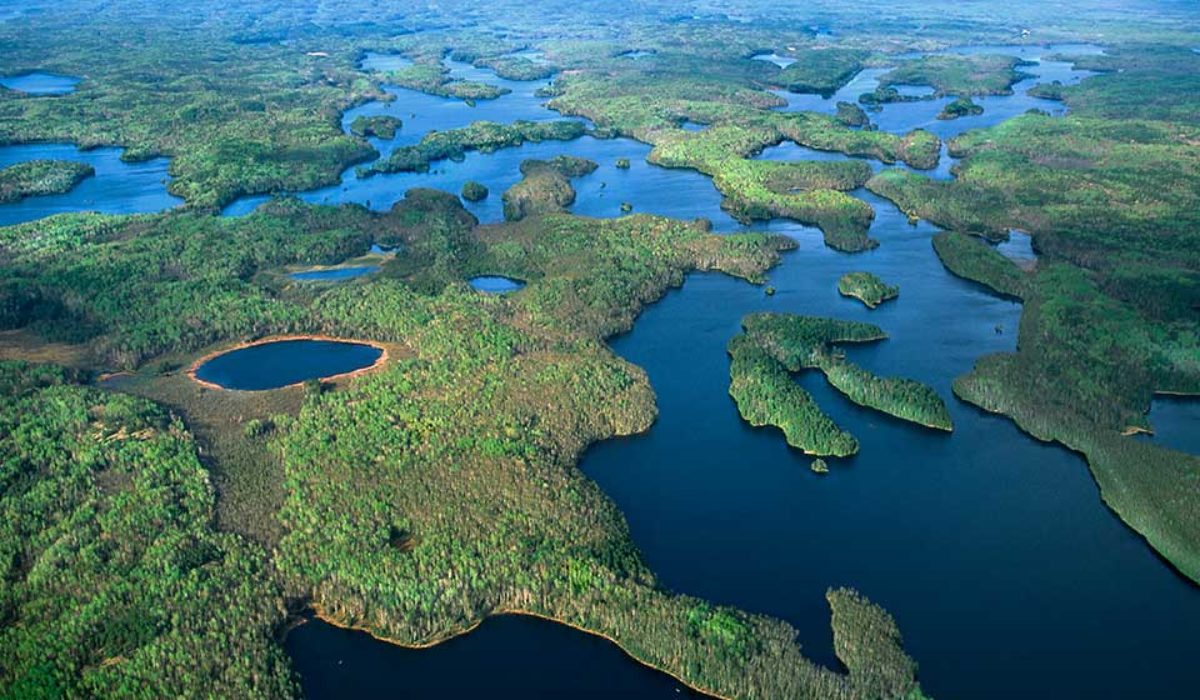


Back in the mid-90s I visited the Boundary Waters Canoe Area Wilderness (BWCAW) for the first time. It was me and 3 other guys, during a record-setting hot summer, canoeing and portaging and fishing and swimming and stargazing — that trip remains one of my favorite lifetime memories! One of the many things I learned from that trip is that you simply cannot navigate that endless wilderness without good map skills. You couldn’t rely on your smartphone’s map app back then (and even if you had one, there is no signal up there), you had only your paper map and a compass. Oh, the joys of orienteering! (Orienteering is a collection of sports that requires navigational skills and tools, such as a map and compass, to navigate from point to point).
Since that first trip I returned two more times to BWCAW, in spring and again in fall. I really wanted to experience this wilderness in different seasons, and each trip was a new thrill! The maps of this region are very detailed and complex, and I kept them to remind me of those fond memories. If you’re looking for a true wilderness adventure, I highly recommend Cliff Wold’s Outfitting Company. They have 58 years’ experience in providing everything you need for a safe and memorable voyage into the BWCAW.
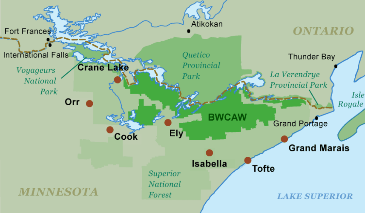
Established in 1964, the BWCAW has changed little since the glaciers melted. It is a vast region in northeastern Minnesota (Voyageurs National Park lies to the west and Canada’s Quetico Provincial Park to the north) with over 1,500 miles of canoe routes, nearly 2,200 designated primitive campsites, approximately 1,175 lakes and countless streams. The BWCAW is part of the Superior National Forest.