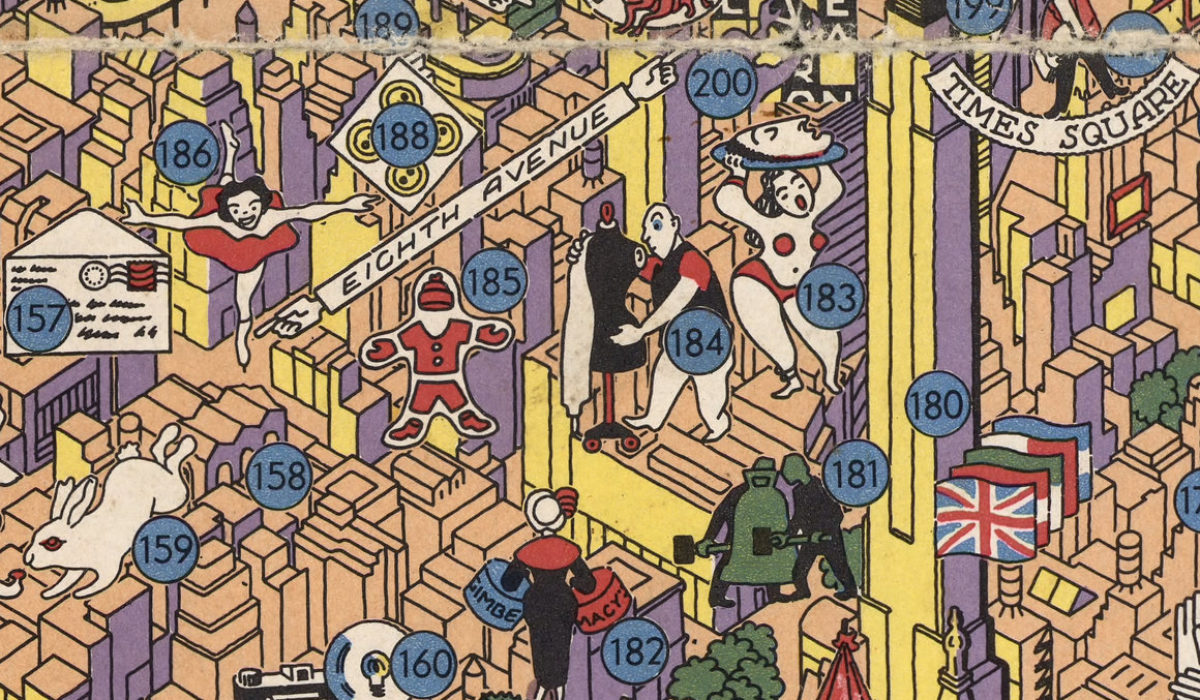
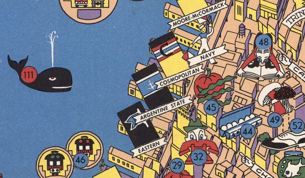
Nils Hansell was a New Jersey-born cartographer in the 1950s who created a pictorial map he called “Wonders of New York.” In it he sketched out 300 unique and outrageous attractions and diversions, from Manhattan’s southern tip up to 96th Street. Around the outside of the map is a detailed border hilariously fun illustrations and labels to each of the points of interest. “Hansell’s map is essentially selling the idea of Manhattan as the place to be. It captured the borough’s buzz, Hornsby writes, in the form of the ‘gleaming modernist skyscrapers and the new United Nations building, trans-Atlantic liners, and newly introduced jet passenger planes.’ On a block-by-block level, though, those emblems take a back seat to the smaller sights that have always made the city deliciously, deliriously strange.” [Source: AtlasObscura]
This map appears on the cover of Stephen J. Hornsby’s excellent book, Picturing America: The Golden Age of Pictorial Maps (University of Chicago Press, 2017).


